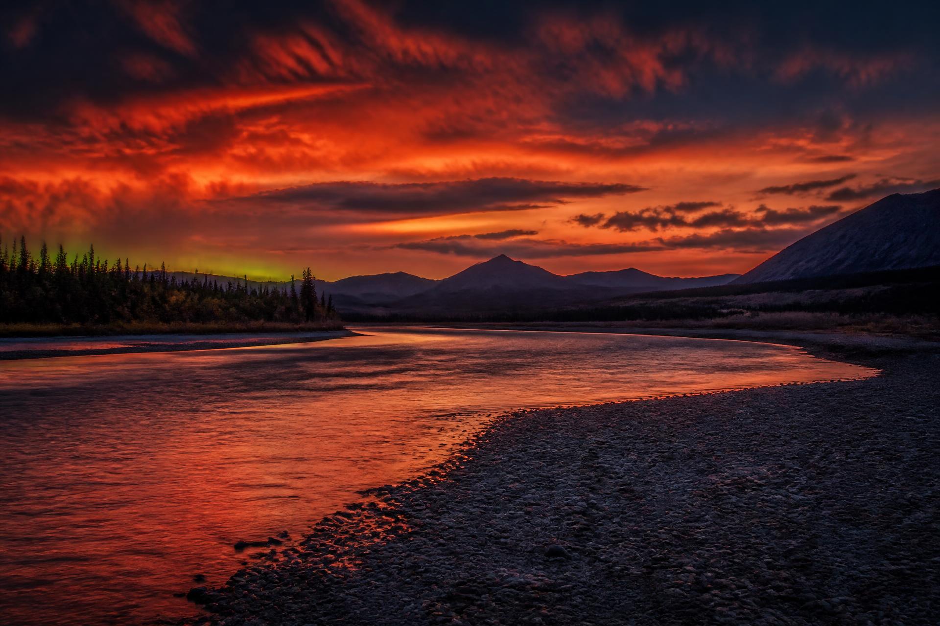
▲ T-MINUS TO LAUNCH ▲
Whitehorse → Dawson.
736 km down the mighty Yukon. Put-in August 9, 2026.
§ 01 — THE WATER
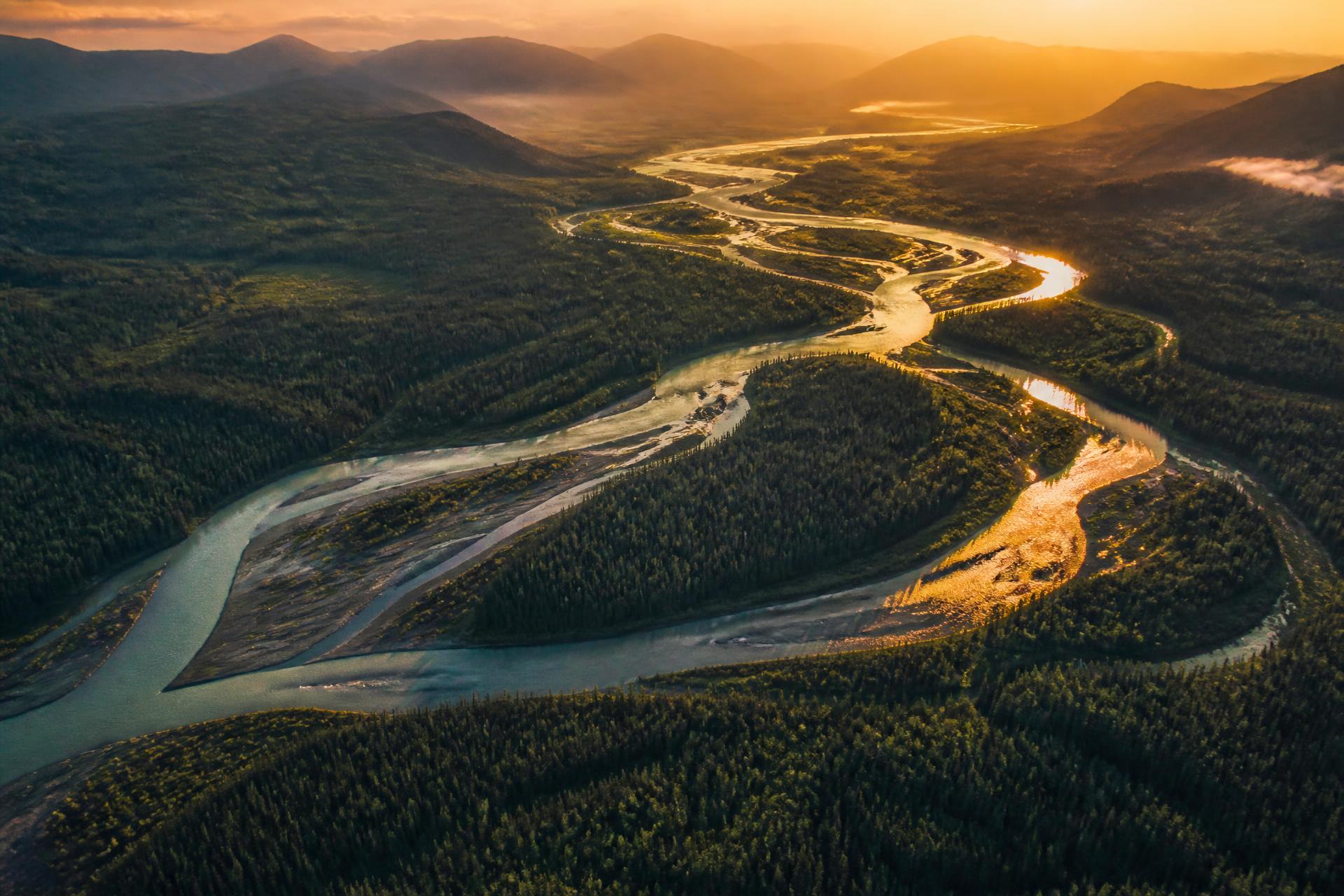
Two weeks. One river. No road out.
From Whitehorse to Dawson, the Yukon carves 736 kilometres of braided channels, gravel bars, and gold rush ghosts. The current does the work. The wilderness does the rest.
§ 02 — THE ROUTE
The path of the Klondike.
Tap a waypoint to jump to that day's log entry. The river doesn't rush — neither will we.
Hover a pin — 9 stops from put-in to take-out. Click to jump to the day.
§ 04 — COUNTDOWN CHECKPOINTS
The road to launch, and the ride home.
Prep-and-bookend logistics only — paperwork, flights, prep day, put-in, take-out, shuttle, and the flight home. The on-water day-by-day lives in The Log below.
Paperwork & Gear Audit
Yukon fishing licenses lined up. Non-Resident Firearm Declaration prepped (personal, optional). Every barrel weighed.
§ — THE WEATHER
Pack for the wetter, colder end.
Monthly climate normals for August — not a live forecast. We're on the water Aug 9–20; late-month conditions trend toward the cooler and wetter end of the range.
Whitehorse
NEAR PUT-IN · DAY 1 (AUG 9)- AVG HIGH
- 18°C / 64°F
- AVG LOW
- 6°C / 43°F
- RAINFALL
- 40–60 mm
- RAIN DAYS
- 12–13 rain days
Highs slide from ~high-60s°F early August to ~high-50s°F by month's end.
Dawson City
NEAR TAKE-OUT · DAY 12 (AUG 20)- AVG HIGH
- 16–18°C / 61–64°F
- AVG LOW
- 5–6°C / 41–43°F
- RAINFALL
- 55–60 mm
- RAIN DAYS
- 10–13 rain days
Highs ease from 18°C early month to ~16°C by late August.
§ 02 — FIVE FINGER
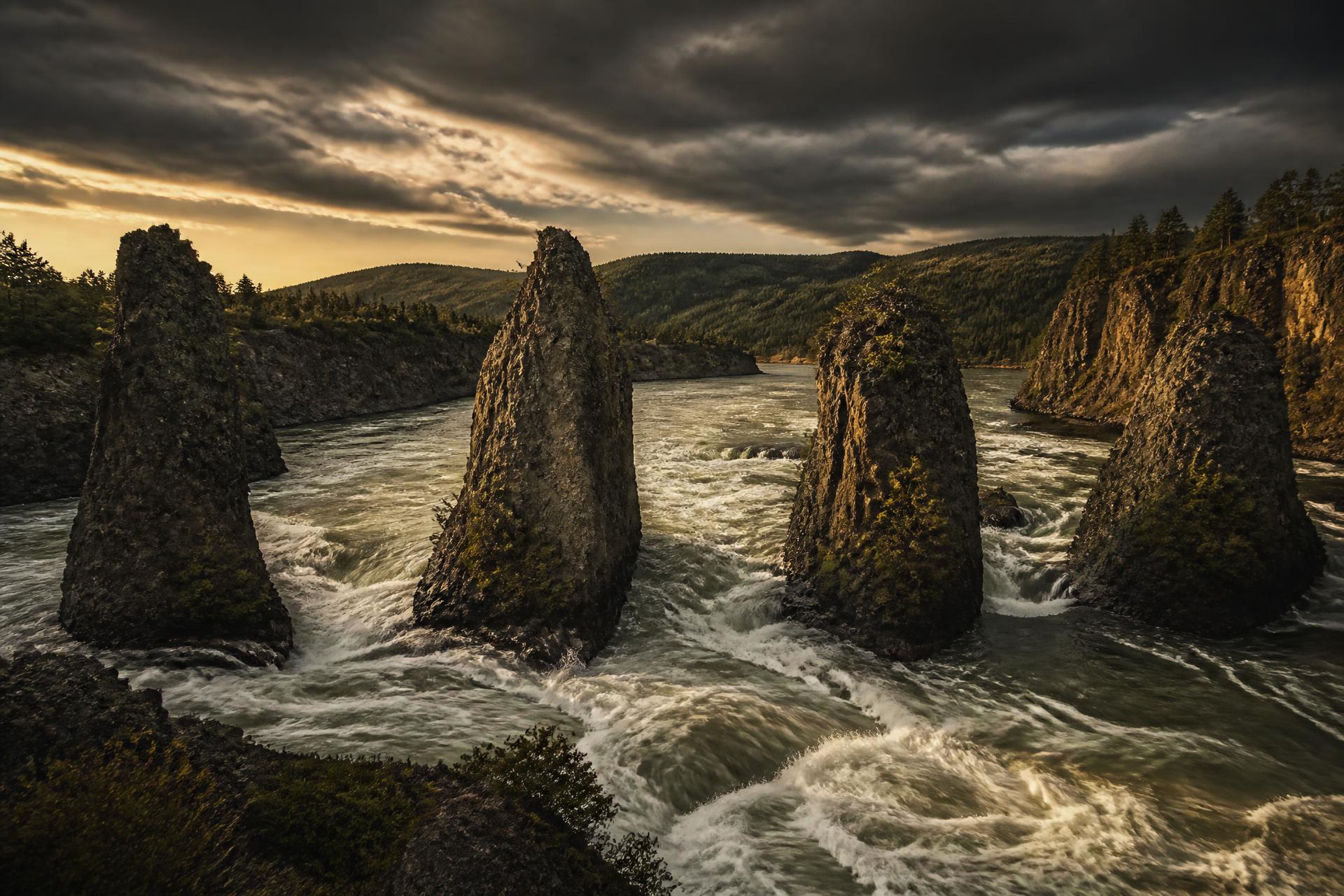
Scout right. Run right of center.
Halfway to Dawson the river funnels between four basalt columns. Read the water. Pick your line. Commit.
§ 03 — THE LOG
12 days on the river.
~736
TOTAL KM
12
PADDLE DAYS
0
LAYOVERS
60–64° N
LATITUDE
- DAY 01Aug 935 KM4.5–5 hCLEAR
Launch — Whitehorse → Lake Laberge Inlet
Put in ~9 AM below the dam. Easy shakedown, current-assisted. Camp near the Lower Laberge channel inlet.
FISHGrayling in outflows, pike in eddies.CAMPSheltered inlet — stage before the lake.☀ 7:16☾ 8:37 - DAY 02Aug 1030 KM6–7 hCLEAR
Lake Laberge — Day 1 of 2
First-light launch to catch morning glass. This is still the trip's main weather risk — splitting the lake across two days is our deliberate slack for wind. Shore choice matters: the east/right shore is shorter and more direct (the Whitehorse-outfitter pick in fair weather); the west/left shore is longer but has far more shelter and bail-out points if wind comes up. West/left is the more conservative default — decide at the put-in based on the forecast.
FISHTroll spoons for lake trout along drop-offs.CAMPSheltered point ~30 km in — side of the lake chosen that morning based on wind.☀ 7:18☾ 8:33 - DAY 03Aug 1120 KM4–5 hCLEAR
Lake Laberge — Day 2 of 2
Finish the crossing at an easy pace. Short day by design — buffer against a windbound morning, breathing room before the fast water returns.
FISHJig deep near the outlet for lake trout.CAMPLower Laberge outlet, staged for tomorrow's push.☀ 7:20☾ 8:29 - DAY 04Aug 1259 KM7–7.5 hCLEAR
Laberge Outlet → Thirtymile → Teslin Confluence
Current returns hard as you exit Laberge. Heritage river section with steep clear banks. Teslin merges at the end of the day and the water darkens.
FISHGrayling and pike at tributary mouths.CAMPSandy point downstream of the Teslin confluence.☀ 7:22☾ 8:25 - DAY 05Aug 1360 KM6.5 hCLEAR→TEA-STAINED
Toward Big Salmon
Current strengthening. Sandbars and submerged logs common through braided sections — bow paddler on watch.
FISHHeavier spoons in eddies.CAMPMid-river gravel bar.☀ 7:24☾ 8:21 - DAY 06Aug 1460 KM6–6.5 hTEA-STAINED
Past Big Salmon
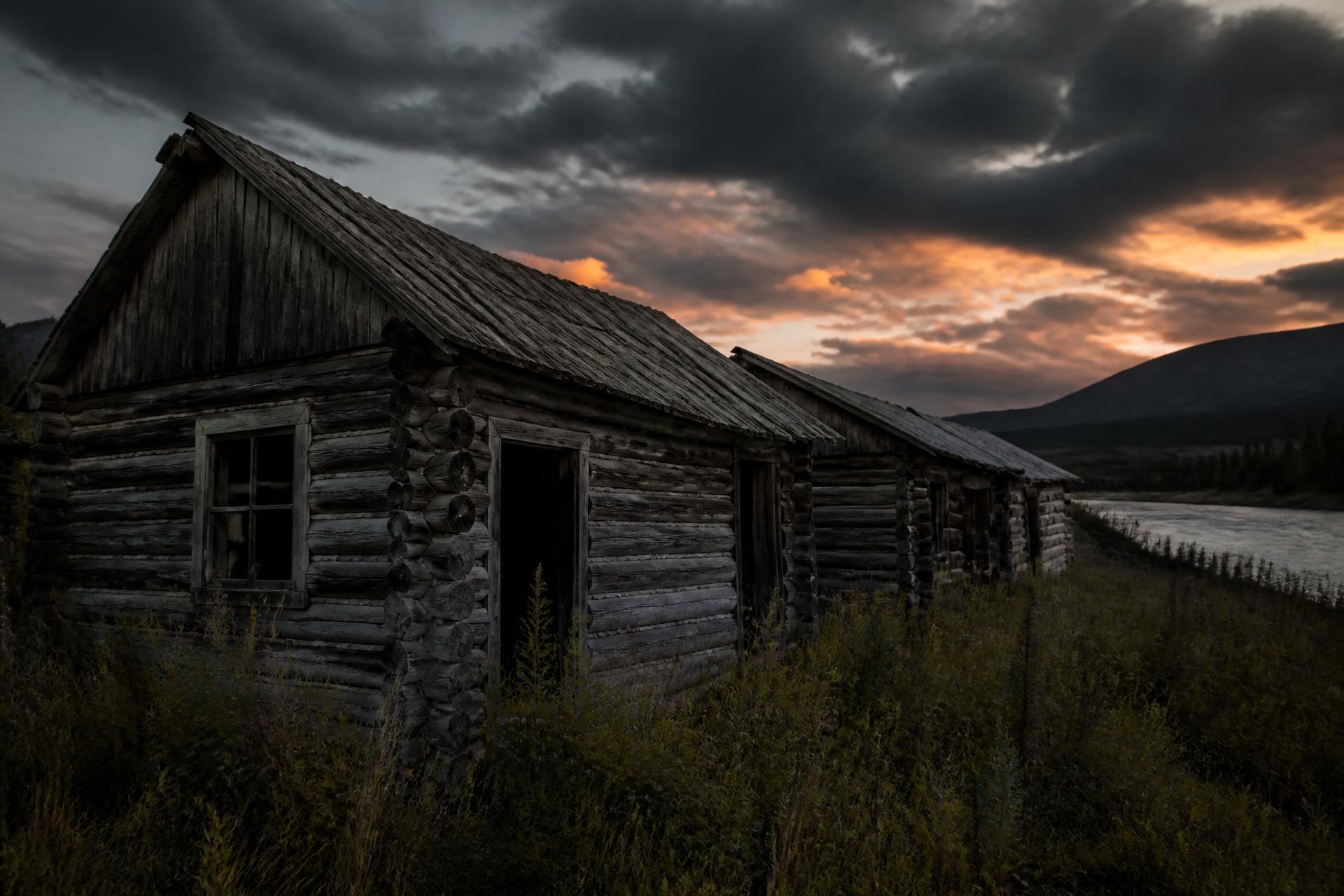
Steady tea-stained water, big wide bends. Old cabin sites on the banks.
FISHPike in slack water; grayling in clear side creeks.CAMPHigh gravel bar.☀ 7:26☾ 8:17 - DAY 07Aug 1556 KM6 hTEA-STAINED
Carmacks
Only town / road access on the whole route (Whitehorse→Carmacks = 320 km, matches published mile markers). Quick stop only — carrying all 12 days of food from the start. Continue by early afternoon.
FISHPike and burbot in side channels.CAMPCamp below town.☀ 7:28☾ 8:13 - DAY 08Aug 1685 KM~8 hTEA-STAINED
Five Finger & Rink Rapids
Easy current out of the Carmacks camp for the first ~38–40 km — Five Finger doesn't arrive until roughly mid-morning. Pull out river-right above it and scout from the bluff. Run right of the center island. Rink Rapids a few km below — flat safe channel river-right. Then push hard on the fast water past both, banking km while the current is with us.
FISHGrayling in calm back-eddies below the rapids.CAMPCamp well downstream of Rink, on a gravel bar.☀ 7:30☾ 8:09 - DAY 09Aug 1790 KM~8.5 hTEA-STAINED
Fort Selkirk
Historic site — old NWMP and First Nations settlement, river-left. Worth a walk-through. Current is fast now — big push day either side of the stop.
FISHBig pike in eddies below the site.CAMPWooded point past Selkirk.☀ 7:32☾ 8:05 - DAY 10Aug 18100 KM~9–9.5 hTEA-STAINED
Past Pelly Junction
Pelly River roughly doubles the flow. Fastest water of the trip and our longest day so far — the current does most of the work if we stay on it.
FISHBig pike below the confluence.CAMPWillow point camp.☀ 7:34☾ 8:01 - DAY 11Aug 19105 KM~9.5–10 hTEA-STAINED
Staging Camp Near Dawson
White River has joined too — current at its peak. Biggest push day of the trip. Sets up a short final morning and guarantees an unhurried arrival before the early Aug 21 pickup.
FISHLast real fishing water — grayling in clear tributaries.CAMPGravel bar within easy striking distance of Dawson.☀ 7:36☾ 7:57 - DAY 12Aug 2036 KM4–5 hTEA-STAINEDARRIVAL
Final Push to Dawson
Deliberately short arrival day — the buffer that guarantees we're packed and ready for the early Aug 21 pickup, not still paddling. Take-out at Dawson.
FISHGrayling in clear tributaries.CAMPDawson City. Sourtoe cocktail optional.☀ 7:38☾ 7:53
§ 04 — THE MANIFEST
Everything we haul.
Two barrels, one canoe, and a stamped ledger. Tap a category to unpack it.
Group Gear
49 ITEMS- 1 canoe — Esquif Miramichi 20' (T-Formex, rented from Up North Adventures)
- 1 spare paddle
- PFDs, paddles, safety kit, sponge & bailer included in rental — don't duplicate
- Bow/stern lines
- Repair kit
Personal Gear
54 ITEMS- PFD (from rental)
- River knife
- Polarized sunglasses
- Buff (synthetic)
- Ball cap
- Sunscreen & lip balm
- Personal Nalgene
§ 05 — THE TACKLE BOX
Fish the confluences.
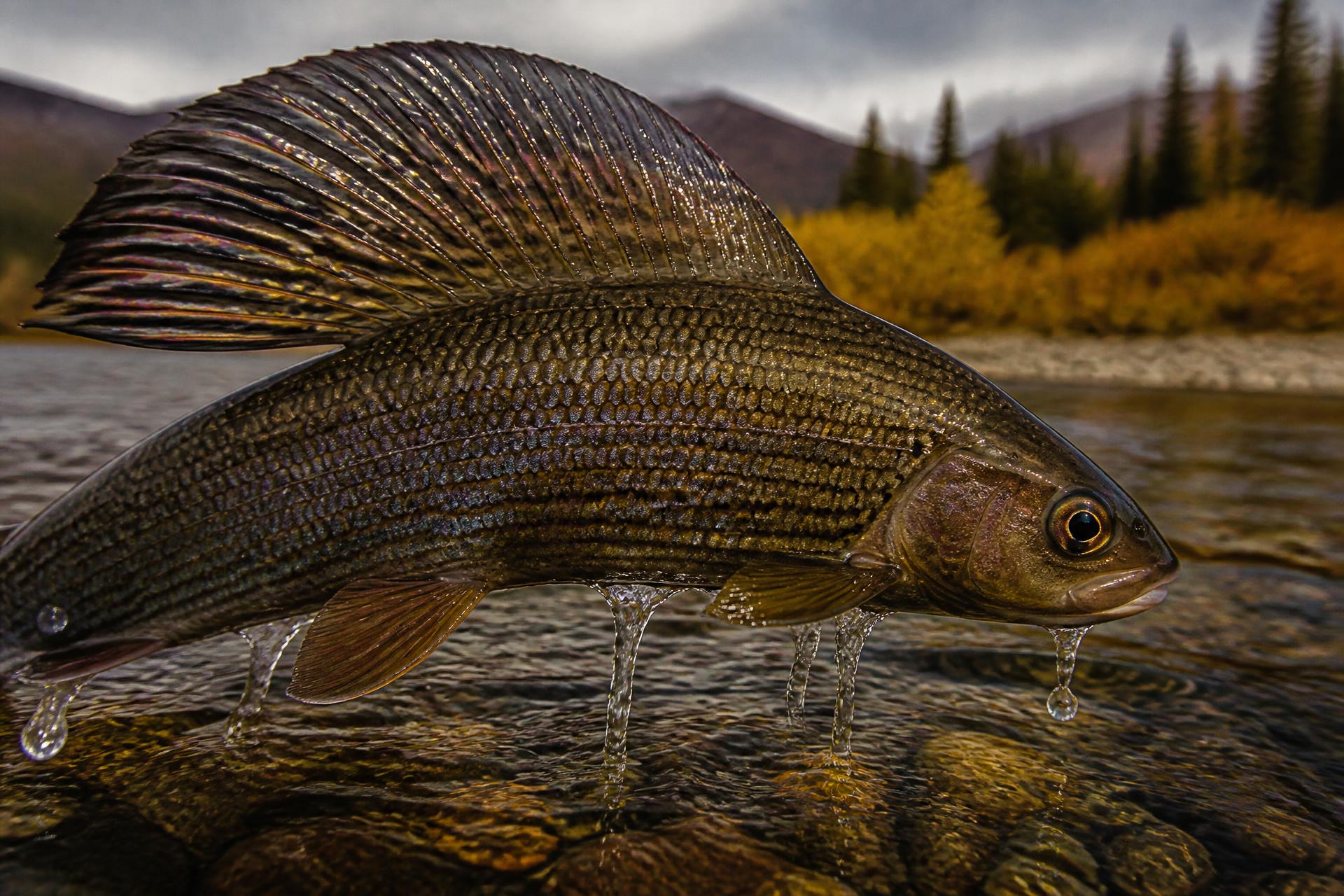
Arctic Grayling
Ultralight rod. Small Mepps, Blue Fox #1–2, dry flies. Clear tributary mouths.
Northern Pike
30 lb braid + wire leaders. 4–5" spoons, paddle tails. Eddies below confluences.
Lake Trout
¾ oz spoons trolled deep across Laberge drop-offs. Slow and heavy.
— LURE INVENTORY —
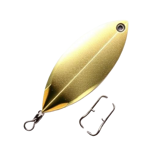 Mepps Aglia #1–#3
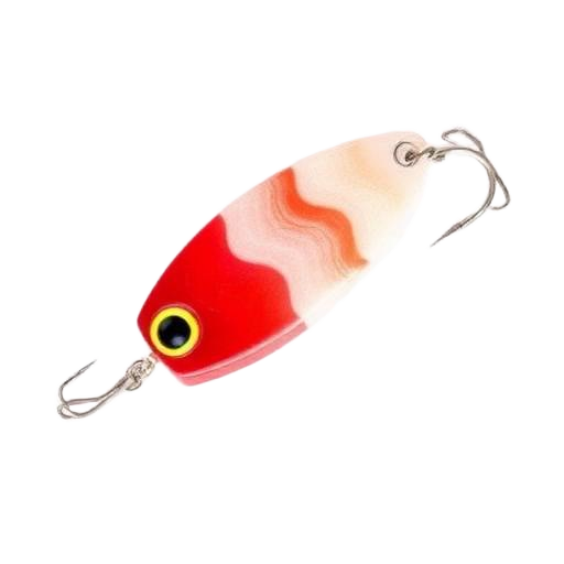 Dardevle Spoon
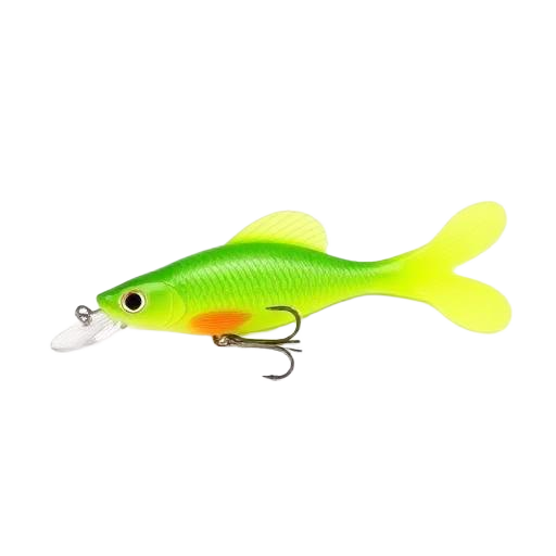 Paddle tails 3–4″ (white / chartreuse / black)
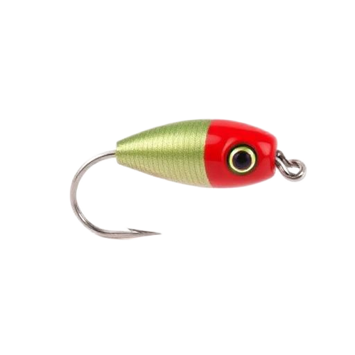 Jig heads 1/4 & 3/8 oz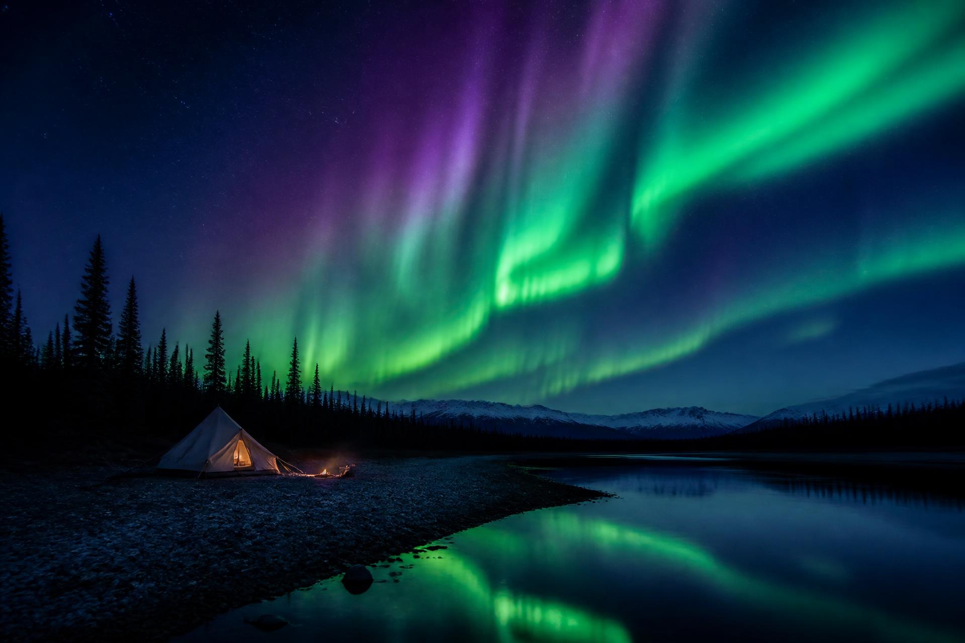
§ 03 — NORTHERN LIGHTS
The reward for staying up late.
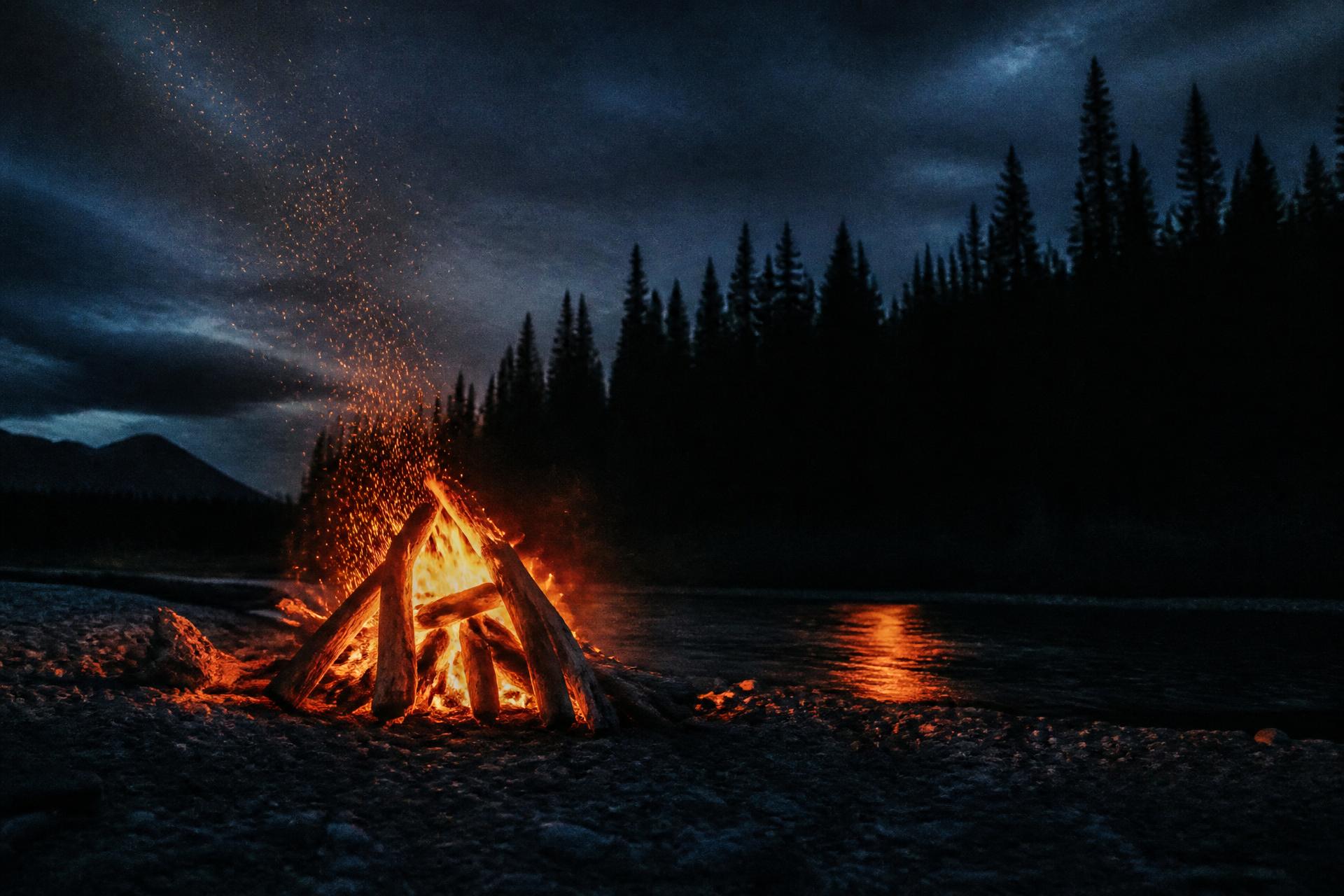
August nights this far north are already dark enough for aurora. A slow river. A driftwood fire. A sky that will not sit still.
§ 05 — DUSK & BACKCOUNTRY
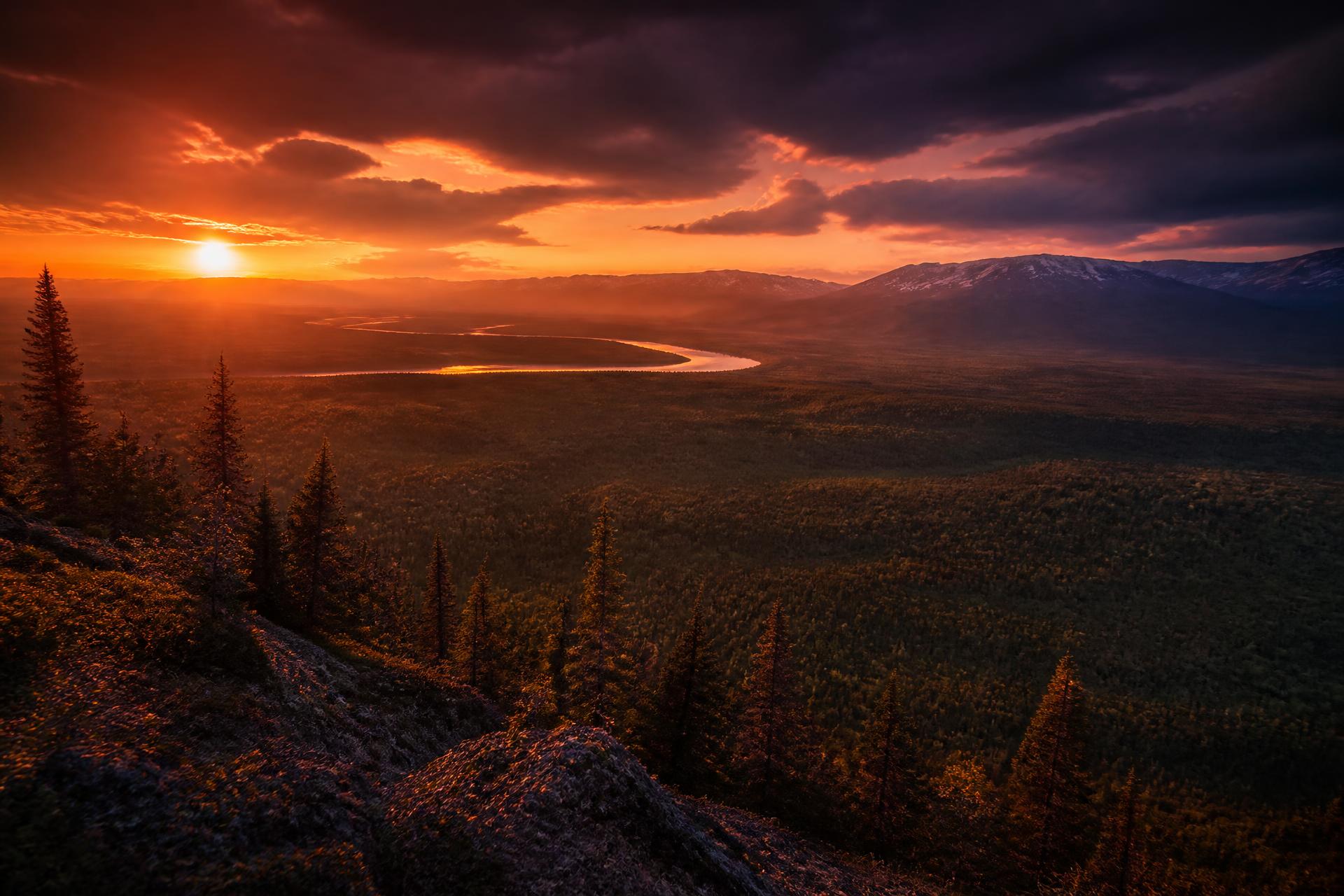
A field of view from up there.
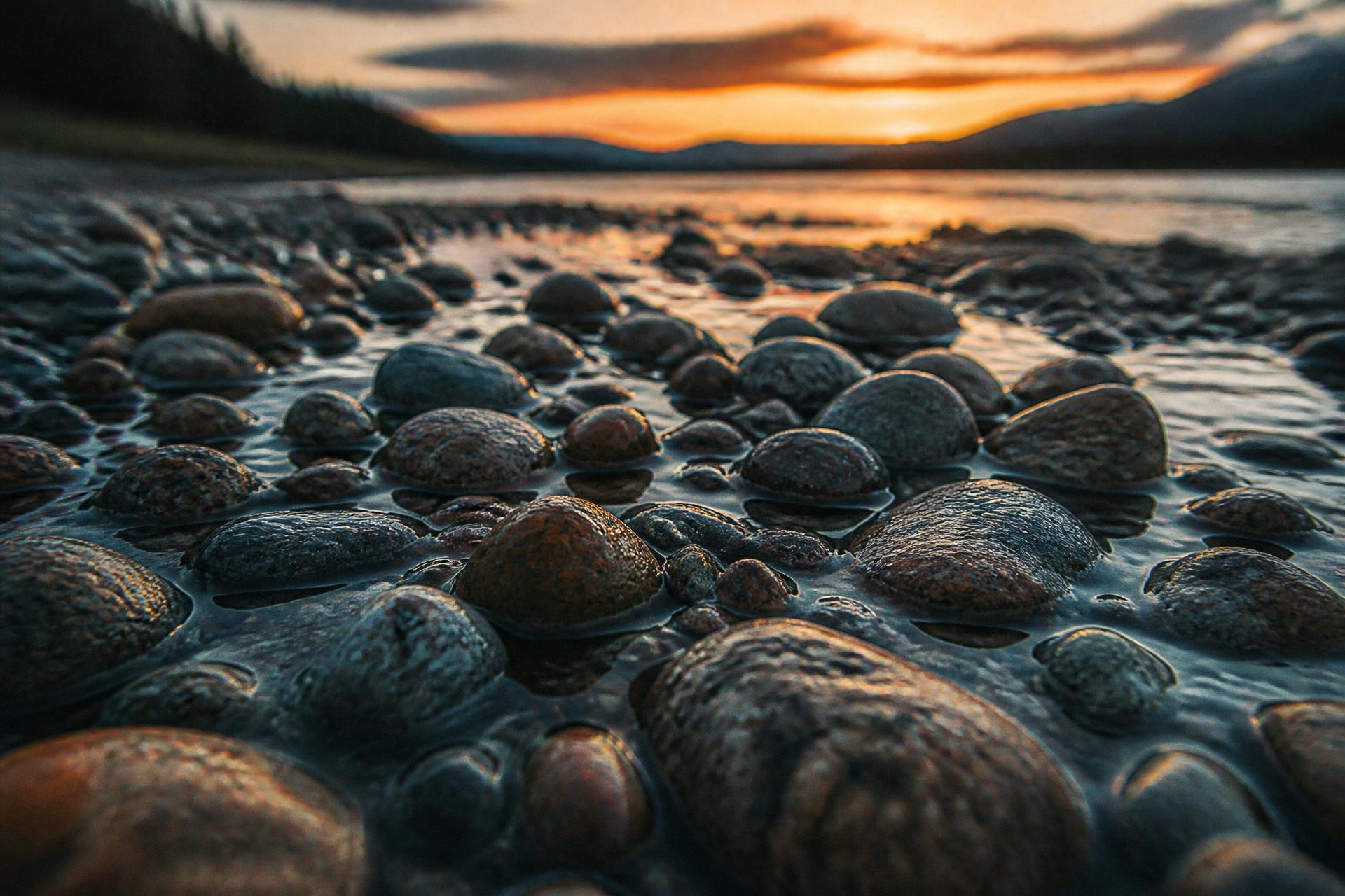
Frames from the Yukon at the hour when the sky burns. Full bleed, no crop, no polish. Just what the river looks like when the day lets go.
§ 06 — TRAIL WISDOM
“Mail a duffel to yourself in Dawson for a clean shirt before the saloon.”
“Bring a gold pan. You'll want to say you tried.”
“Camp on gravel bars. Strain dishwater. Respect the ruins.”
“The current carries you. The wind is what you fight.”
“Cold water = dry layers ready.”